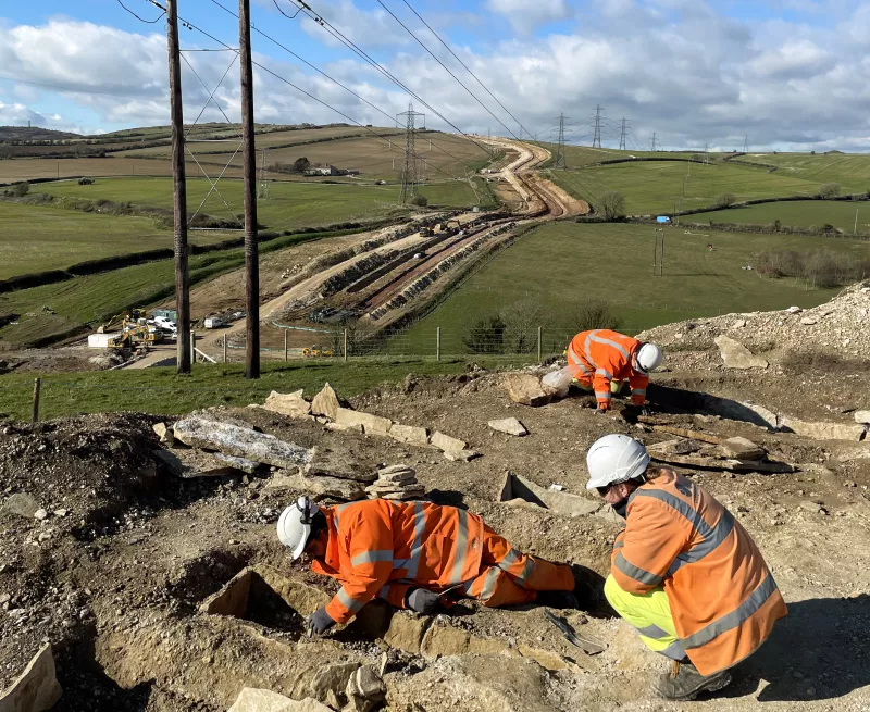
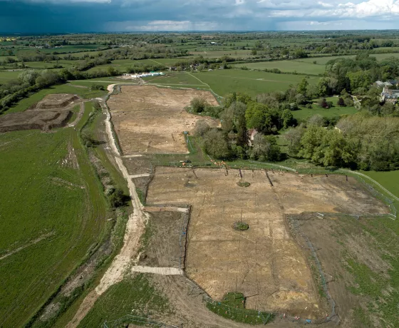
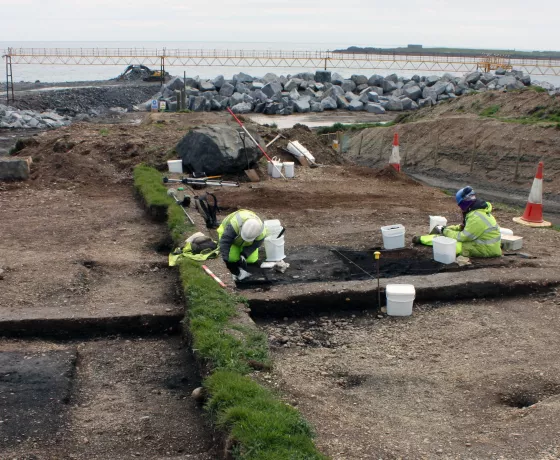
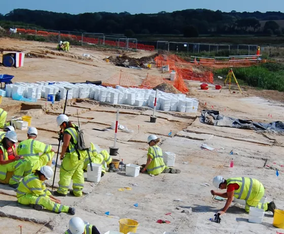
From single house extensions to large infrastructure projects, organisations and individuals trust Oxford Archaeology to deliver archaeological services required by the planning process.
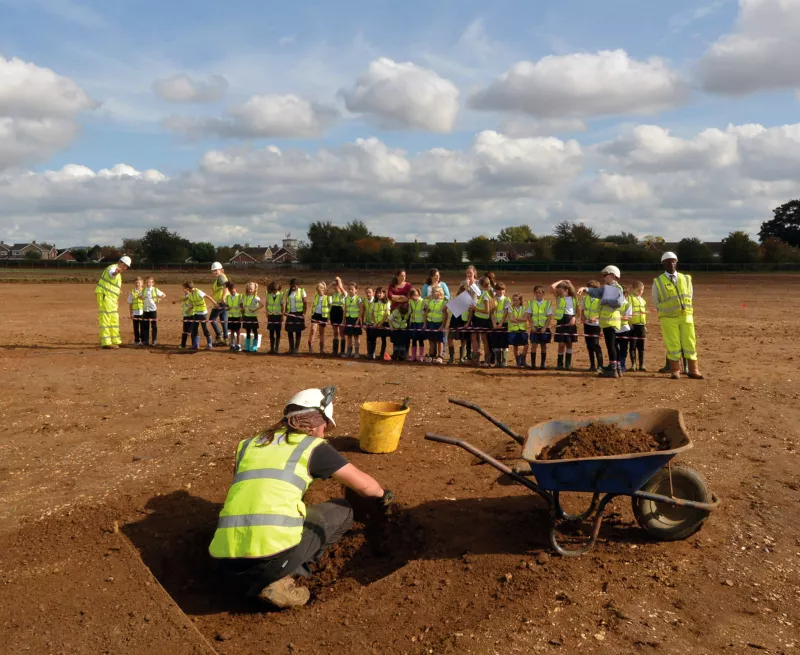
Since our foundation fifty years ago, we have shared our research and educated people in the wonders of archaeology.